


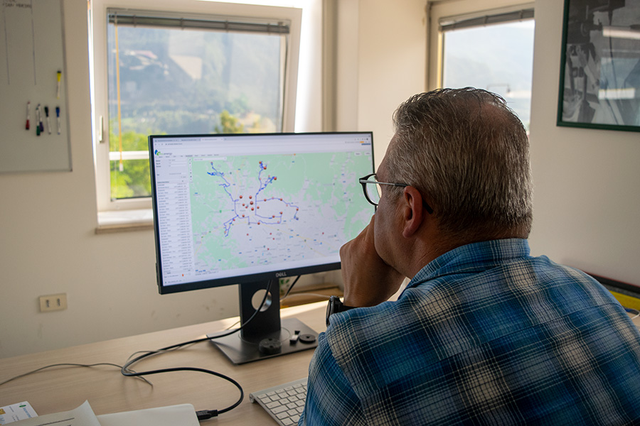
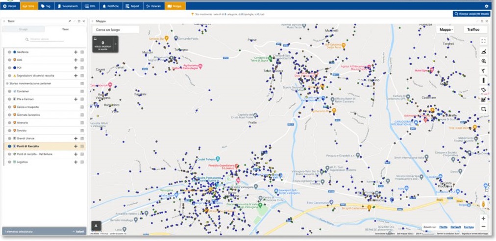
Containers reading management portal
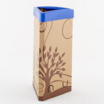
A separate waste collection system is effective and efficient when it collects the emptying data of customers
using door-to-door services.
The vehicle systems and mobile readers of Sartori Ambiente are connected and coordinated by the
data management software or by the cloud application.
Function
Vehicle data management software for waste collection.
ArcoWEB supports utilities that (shall) fall within the 3rd and 4th regulatory schemes of the TQRIF (Consolidated text on urban waste management quality), which include technical quality restrictions.
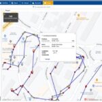
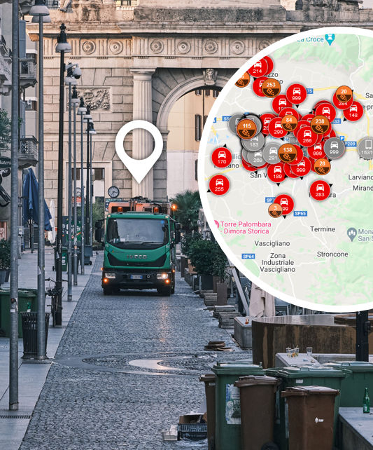
The portal allows to track the provided service, remotely recording in detail the emptyings (where, what, when and outcome) and vehicles collection route.
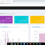
A clear and detailed reporting allows to analyze data according to graphs, maps and tables.
Features
ArcoWEB basic functionality:
- Vehicles data management
- Real-time vehicle tracking
- Map display of emptying
- Vehicle activities
- Real-time display of location on the map, speed, status and type of each collection vehicle.
- Tracks and activities history.
- Alerts and alarms
- On-board tool monitoring
- Antitheft system
- Fuel Monitoring
- Health and safety at work
- Drivers identification and management
- Maintenance and administrative deadlines management
- Virtual perimeters
Available versions
ArcoWEB
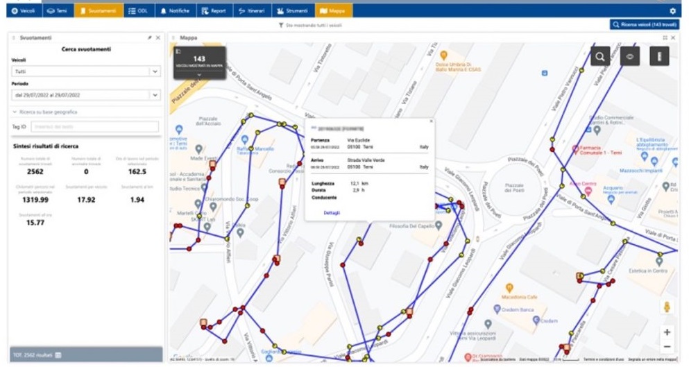
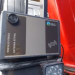
The data management software consists of a web portal, accessible via username and password, which monitors position of the vehicles, data transmitted by the Arco40 EVO (and previous versions) system and by ArcoBEAT mobile readers and data for final report processing.
The management software allows to export sectoral reports, obtained from the data provided by the reading system. Standard reports includes various reports relating to vehicle activities (routes, stops, breaks), activities at points of interest, as well as the monthly activity and emptying report.
The system allows to detect the position of the vehicle, the different service/transfer/stop times (stop, pause), the collection/emptying operations, the information detected by on-board sensors – if installed and active – and the mileage.
The GPS, configured to read vehicles movements and stops coordinates, accurately and efficiently tracks each route.
This user-friendly system is based on the cartography provided by Google Maps, and it supports all the functions provided by Google such as satellite view and street view.